The area
Around Lelystad-Haven you will find water, nature, museums on the history of Flevoland and a few big days out.
On the water
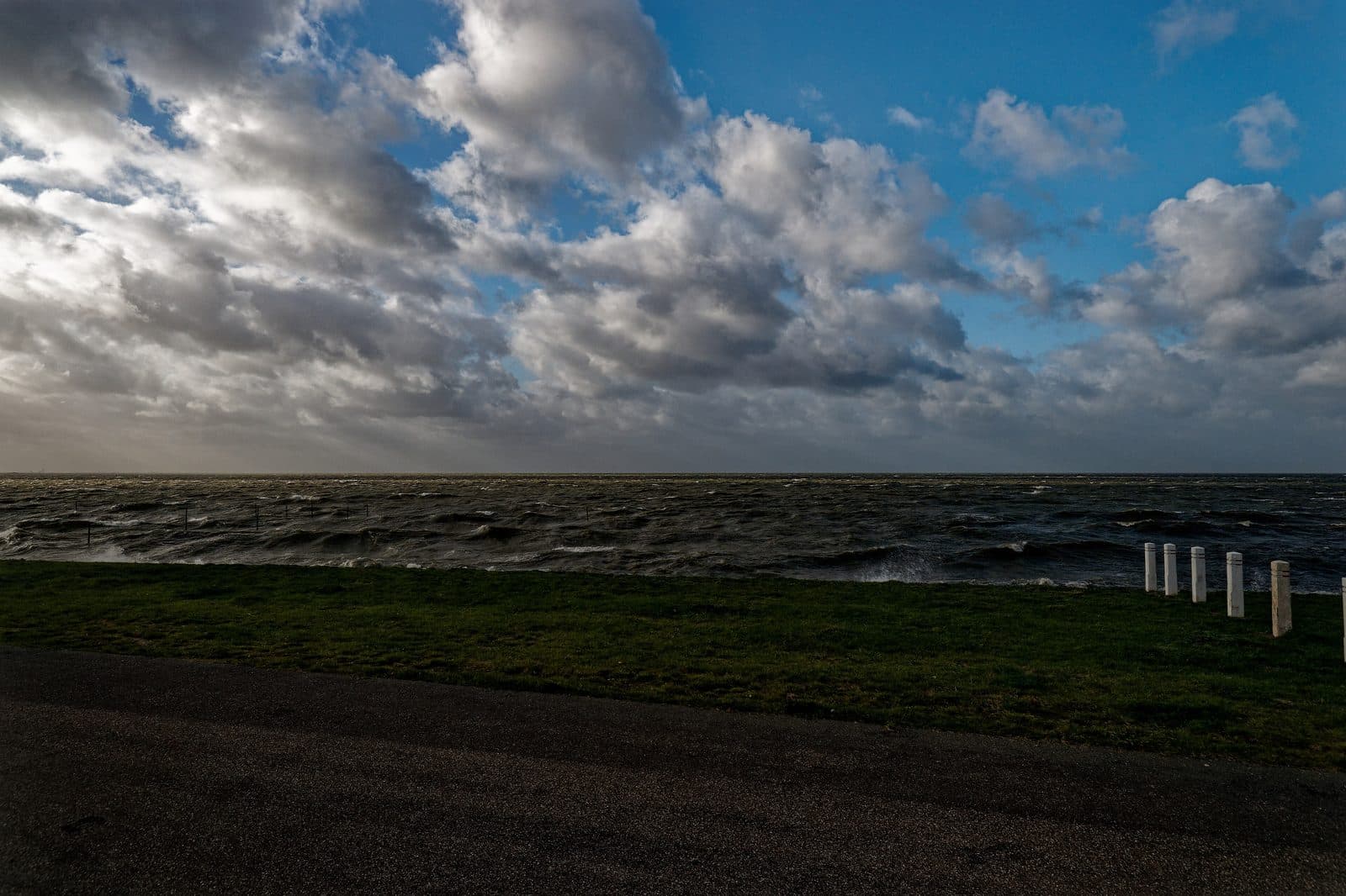
The dyke runs behind the garden, with the Markermeer beyond it. At the Bataviahaven, 3 km away, there are terraces on the quay, and that is where the boat leaves for the Marker Wadden, the islands built here for birds. If you want to get to the water itself, the Bataviastrand is the closest.
Markermeer
The dyke sits just behind the garden, with the Markermeer beyond it. In summer you can watch the sun drop into the water.
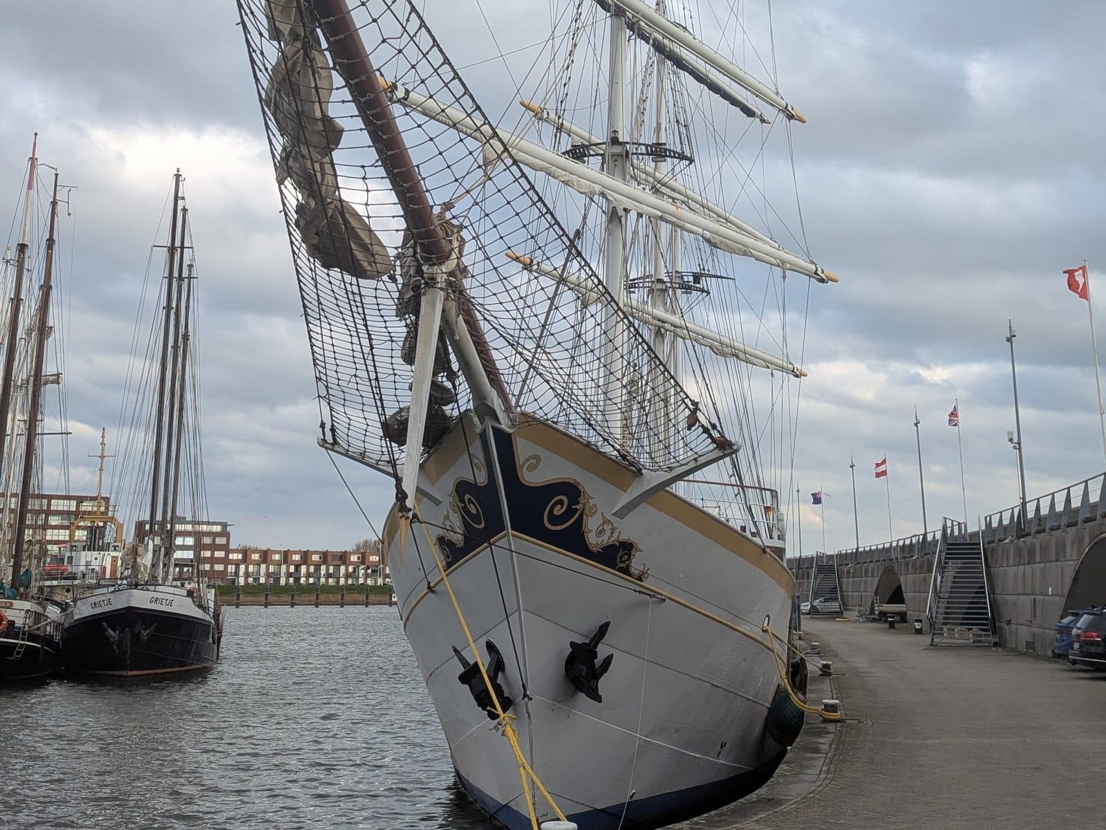
Bataviahaven
3,2 kmMarina with terraces on the water. The boat to the Marker Wadden leaves from here.
Route in Google Maps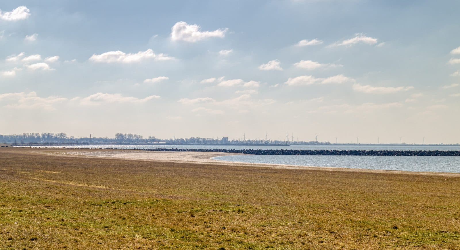
Bataviastrand
5,4 kmSandy beach on the water by Batavia Stad. From the dyke you can see Exposure.
Route in Google Maps
Nature and the outdoors
Bird islands in the Markermeer, the giant sculpture on the breakwater, and woods, lakes and wildlife to walk and cycle through.
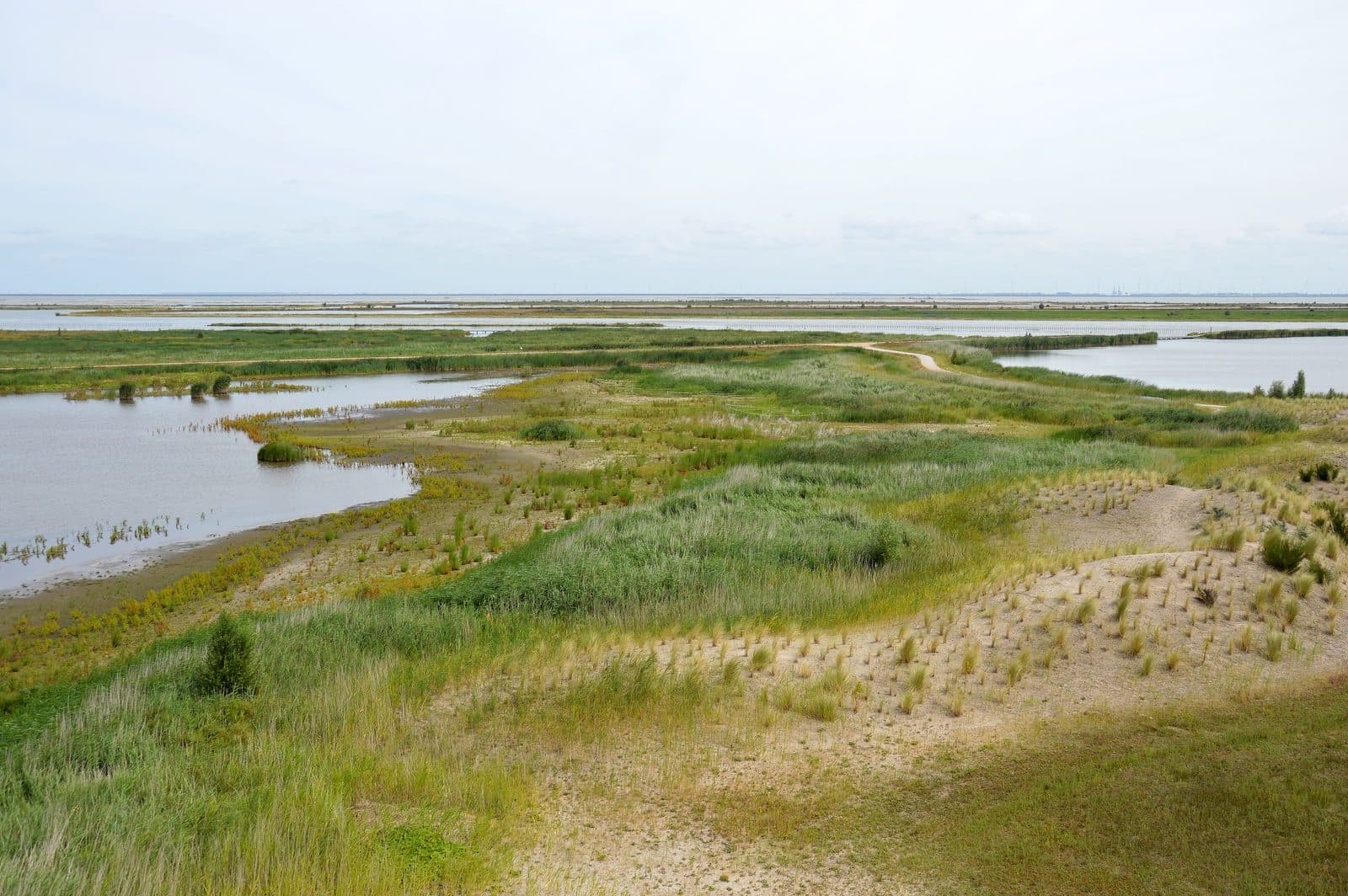
Marker Wadden
A group of islands built in the Markermeer, for birds and for visitors. You get there by boat.
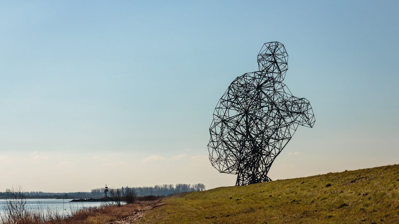
Exposure, the crouching man by Antony Gormley
5,5 kmTwenty-six metres of steel on the spur dam where the Houtribdijk begins. He looks out over the Markermeer.
Route in Google Maps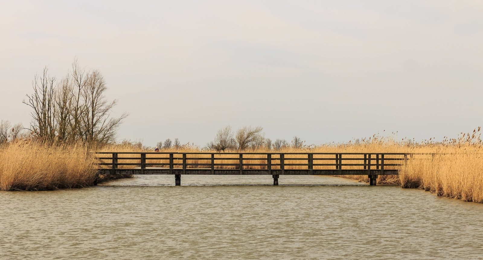
Oostvaardersplassen
6,1 kmNature reserve with konik horses, red deer and a great many birds. There are walking routes and hides.
Route in Google Maps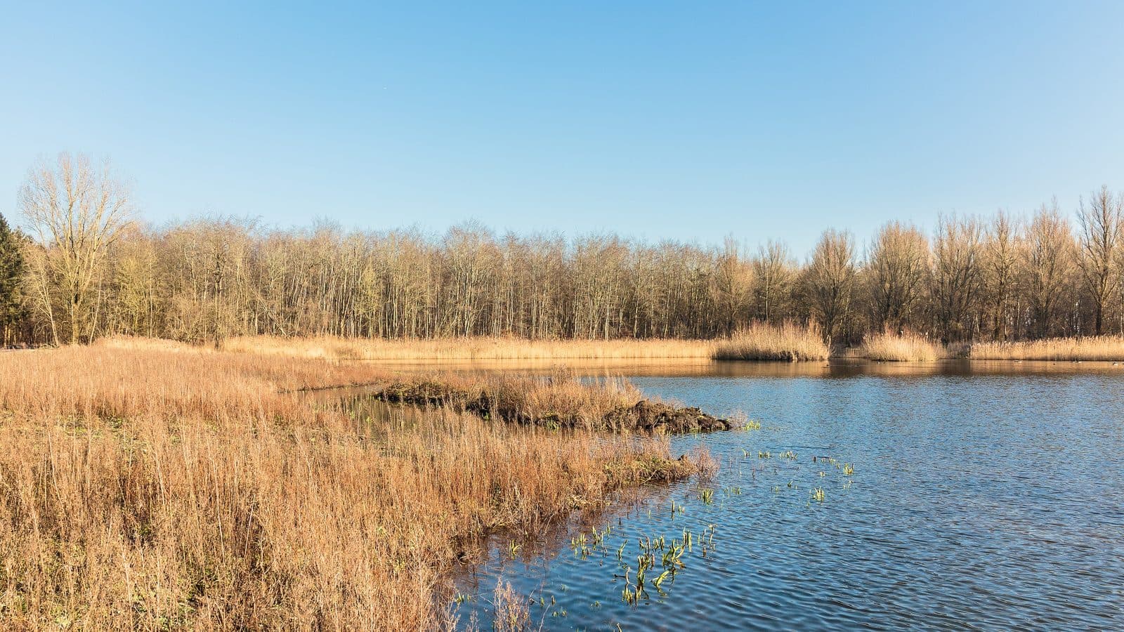
Hollandse Hout
8,4 kmThe Hollandse Hout is 900 hectares and lies on the south side of the town, right against the Oostvaardersplassen. There are several walking routes: the Appelvinkroute (2.5 km), the Wielewaalroute (5 km), the wheelchair-friendly Pelgrimroute (2 km) and the Wandelroute Hollandse Hout (15 km). There is also a through cycle route. You will find the Hollandse Hout close to the Lelystad-Haven district and ’t Bovenwater.
Route in Google Maps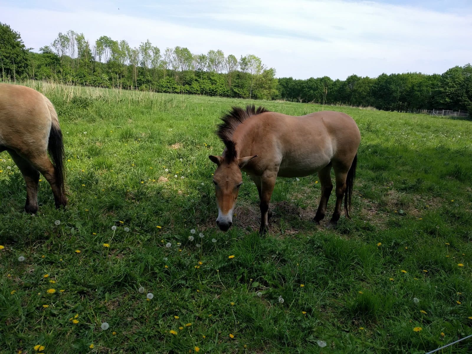
Natuurpark Lelystad
11,1 kmPark in the former Zuiderzee where animals such as elk live in large, natural areas. You walk or cycle right through it.
Route in Google Maps
Museums and history
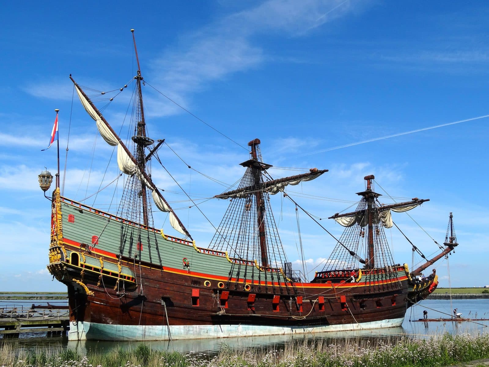
Admire replicas of VOC ships at the Bataviawerf, and pay a visit to the Aviodrome near Lelystad airport.
Bataviawerf
3,3 kmThe Bataviawerf is a cultural attraction of a high order. Nowhere in the world do you stand as close to the shipbuilding of the Dutch Golden Age as here.
Route in Google Maps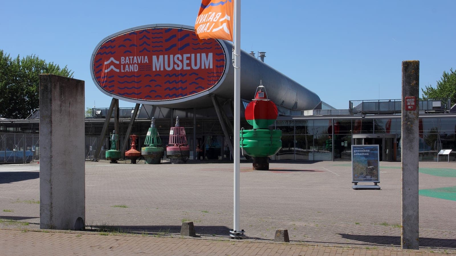
Museum Batavialand
3,7 kmThe museum beside the shipyard tells how Flevoland was won from the water. It also keeps the national ship archaeology collection.
Route in Google Maps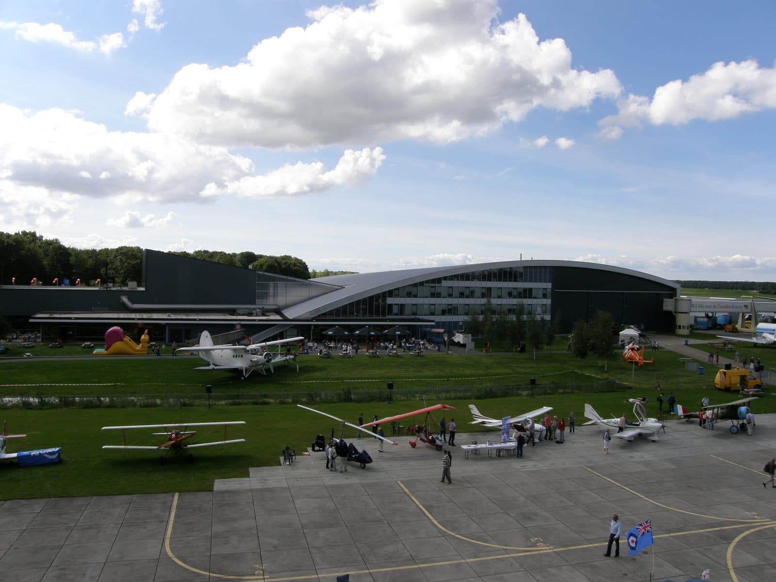
Aviodrome
12,2 kmA day in the clouds? The aviation theme park at Lelystad Airport holds a very large collection of historic aircraft and is open all year.
Route in Google Maps
A day out
Shopping at Batavia Stad, a day at Walibi, or a trip to the Dolfinarium.
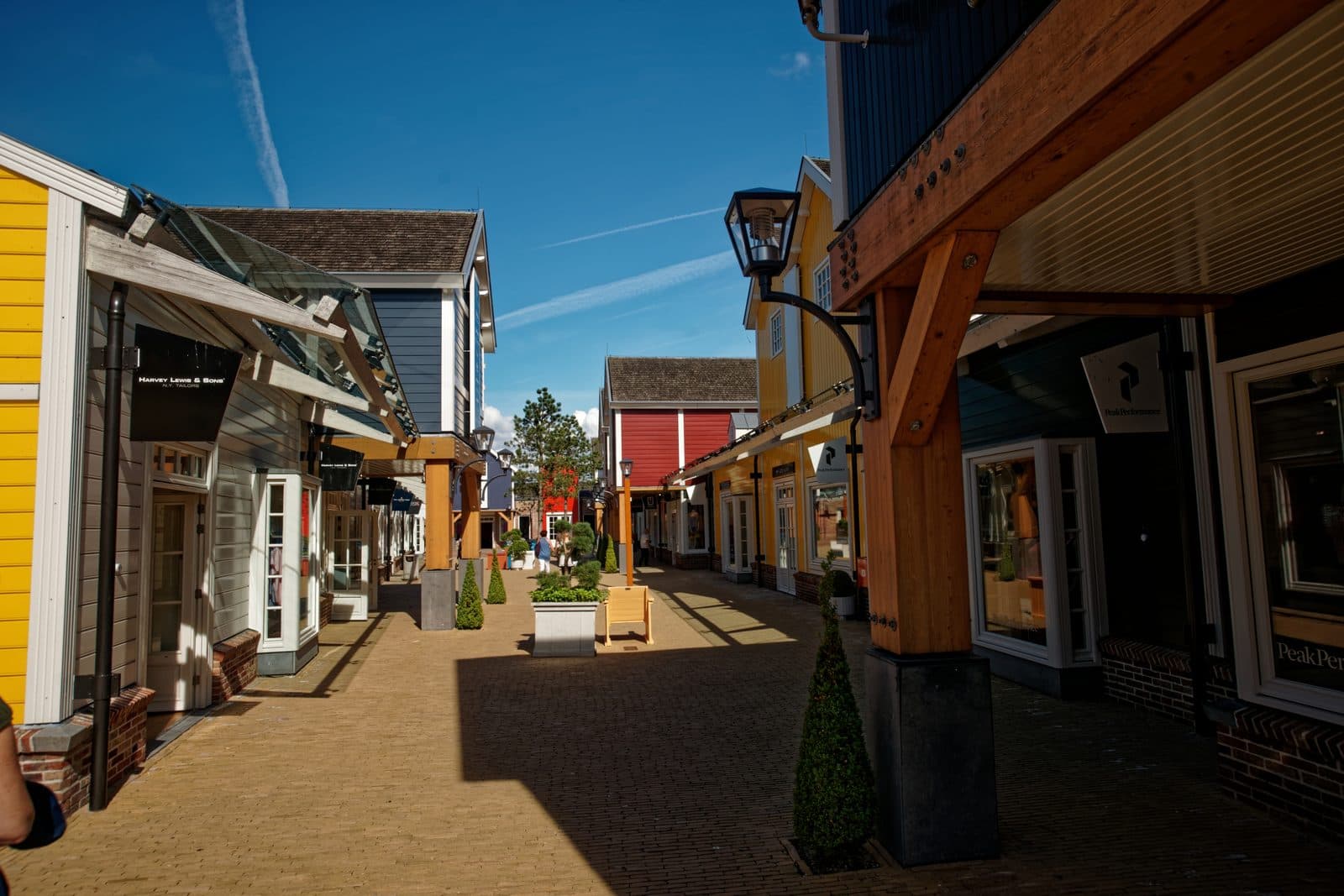
Batavia Stad Fashion Outlet
4,2 kmOutlet centre with shops of national and international brands in women’s, men’s and children’s clothing.
Route in Google Maps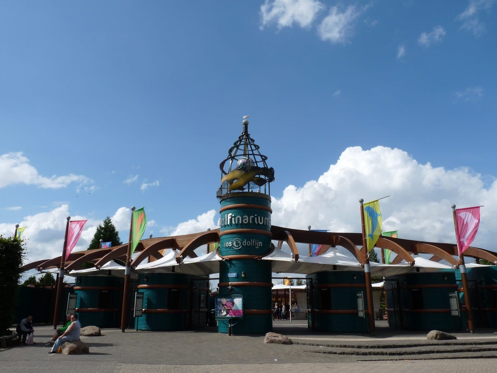
Dolfinarium
28 kmIn barely twenty minutes you are at the Dolfinarium. A day full of activities, attractions and good shows.
Route in Google Maps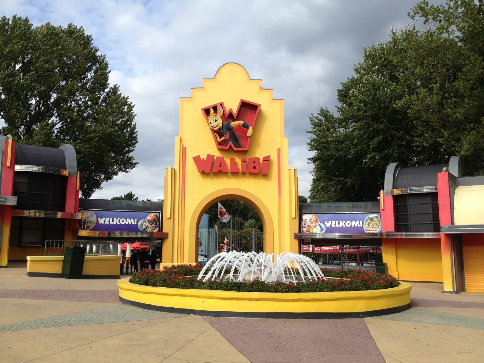
Walibi Holland
34 kmTheme park with rollercoasters, water rides and shows, and Walibi Land, a part of its own for the youngest visitors.
Route in Google Maps
Further away
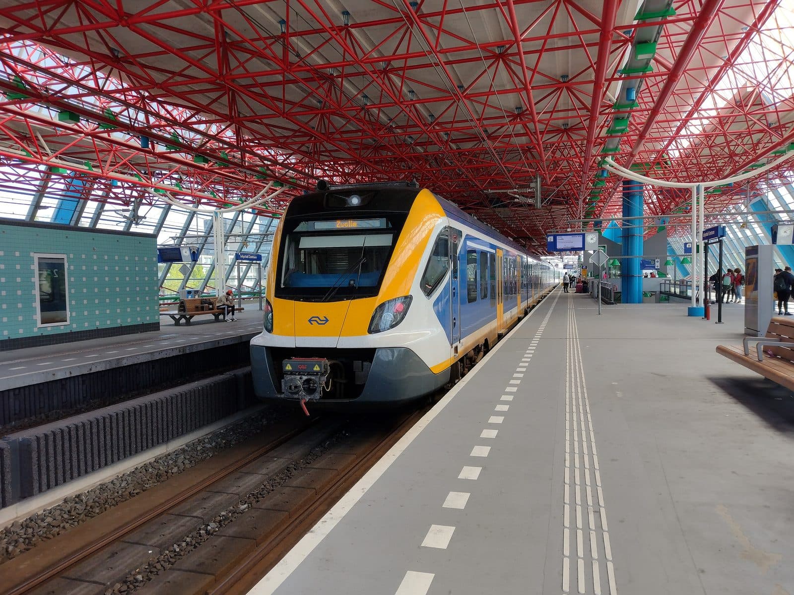
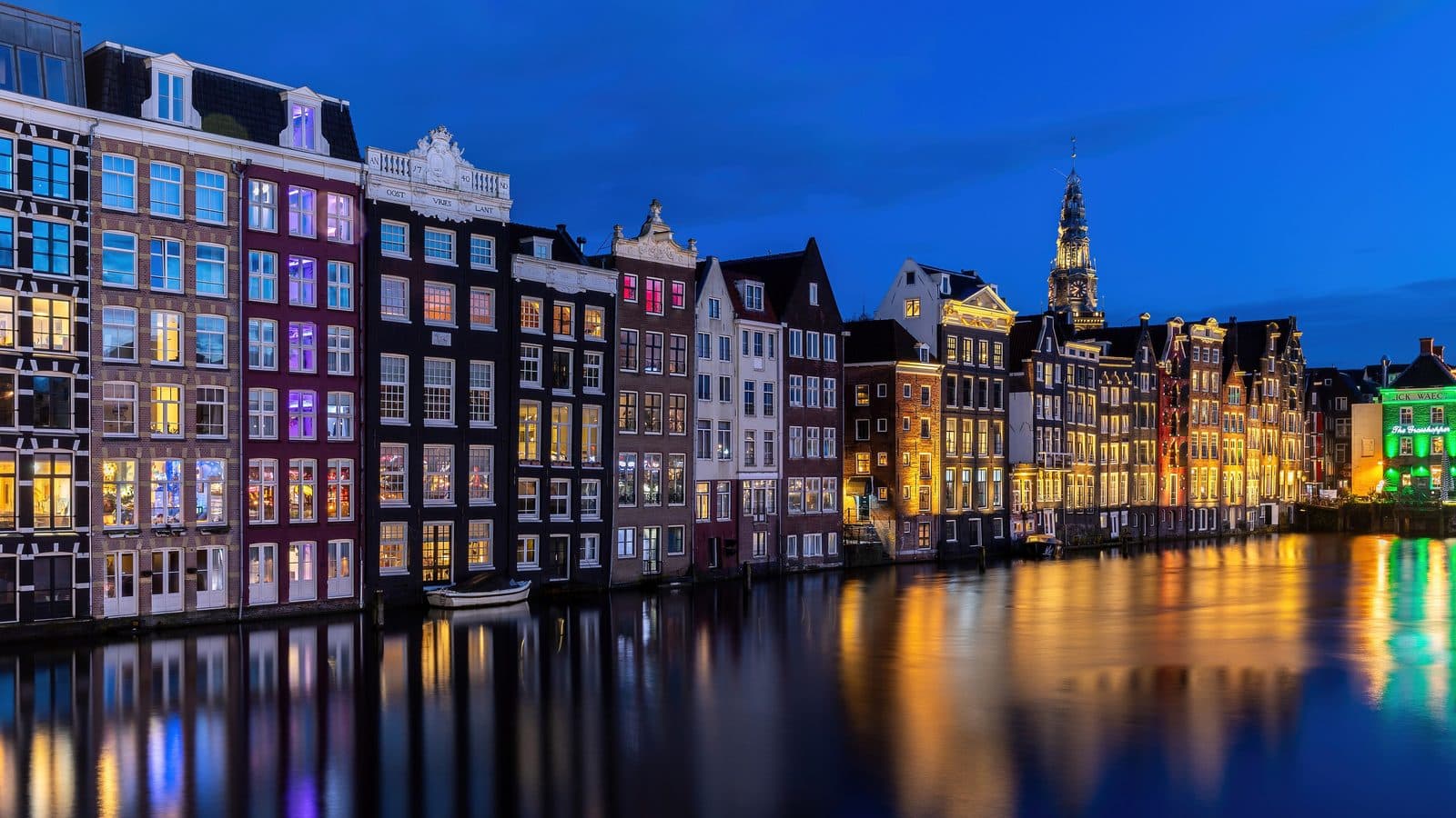
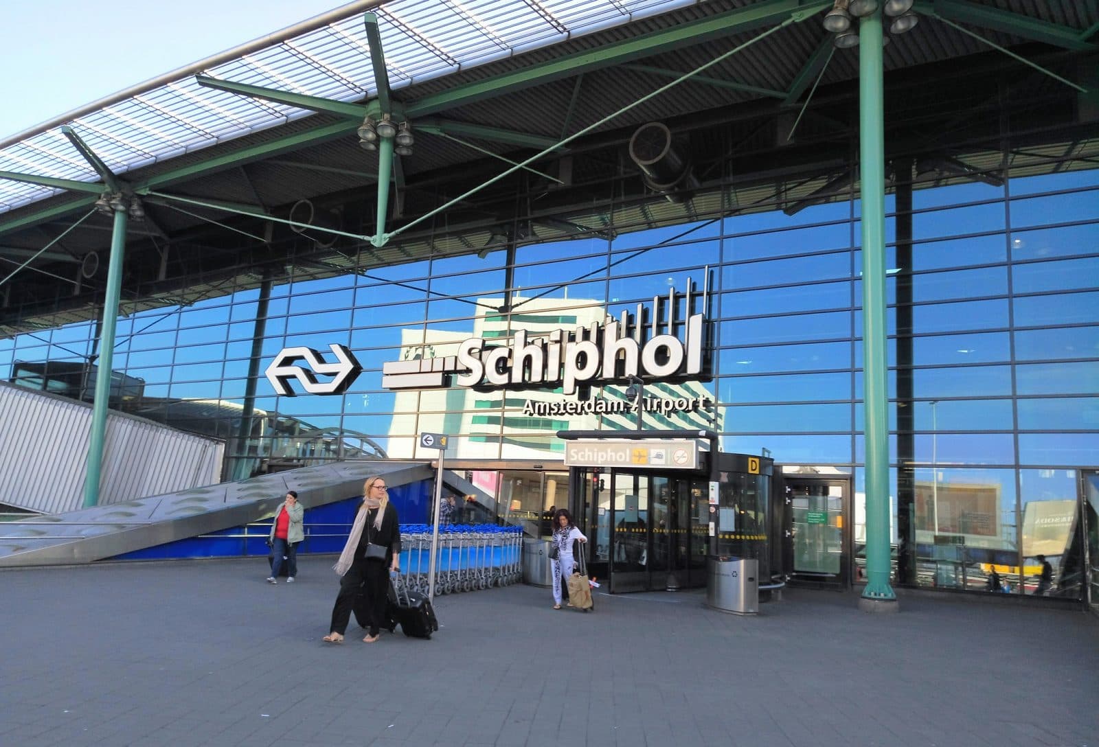
Direct trains run from Lelystad Centrum to Amsterdam, Almere and Zwolle. By car you are in Amsterdam or at Schiphol within the hour.